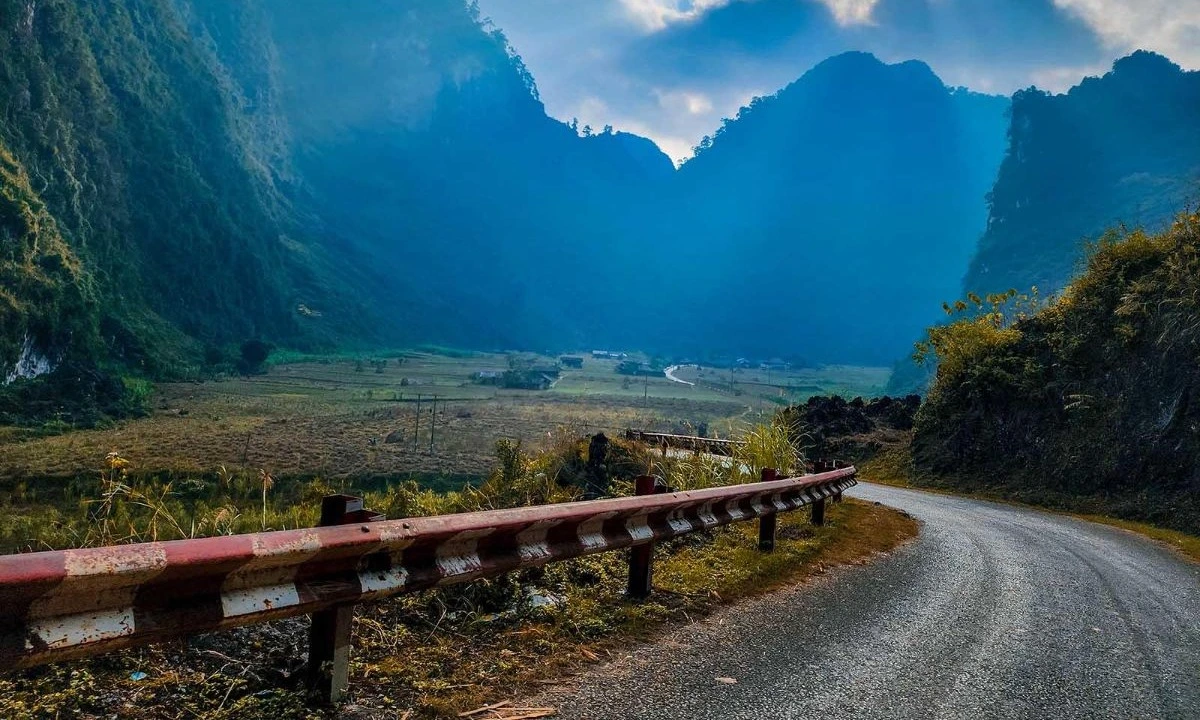
Dong Van Old Town
Located in the core area of Dong Van Rock Plateau Global Geopark, Dong Van Old Town is a destination not to be missed. The old town is located in the center of the town, which was formed more than 100 years ago. Previously, this area was just a wild valley, sparsely populated. At the end of the 19th century, the neighborhood was gradually formed. Looking down from above, Dong Van Old Town is three rows of houses arranged in a U-shape, roofed with yin and yang tiles, including houses and commercial areas with a small scale but with their own characteristics with the identity of the rocky plateau.
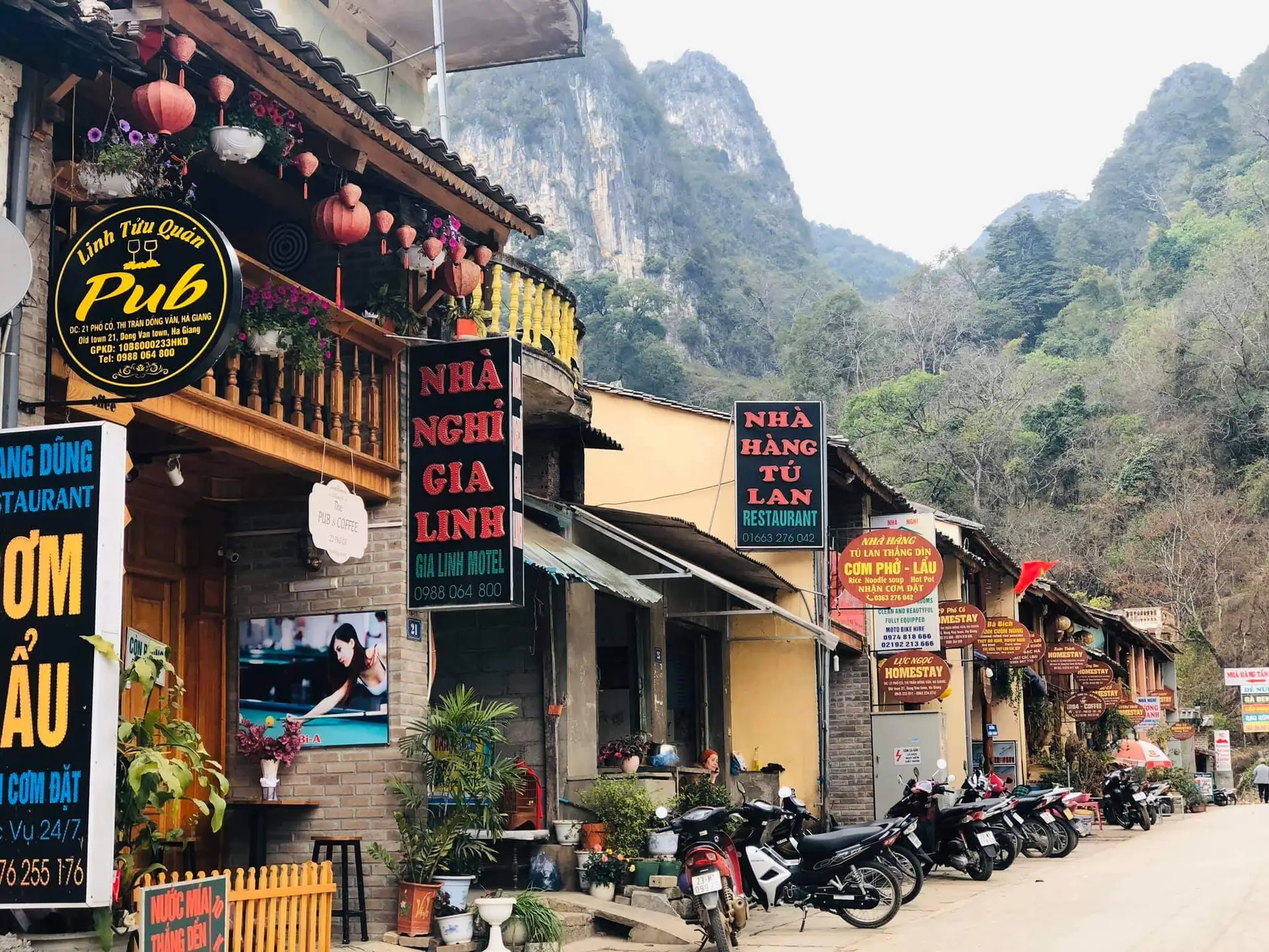
Photo: Sacotravel
Shen Ma Slope
Tham Ma slope is a pass located on National Highway 4C, adjacent to Yen Minh and Dong Van districts. The slope is known as one of the most dangerous roads in the North, 5 km long with 9 winding bends. It is also for this reason that many people like to conquer Shen Ma slope. Stopping here, where there is a very beautiful photo angle, you will have the opportunity to hear many legends about this slope.
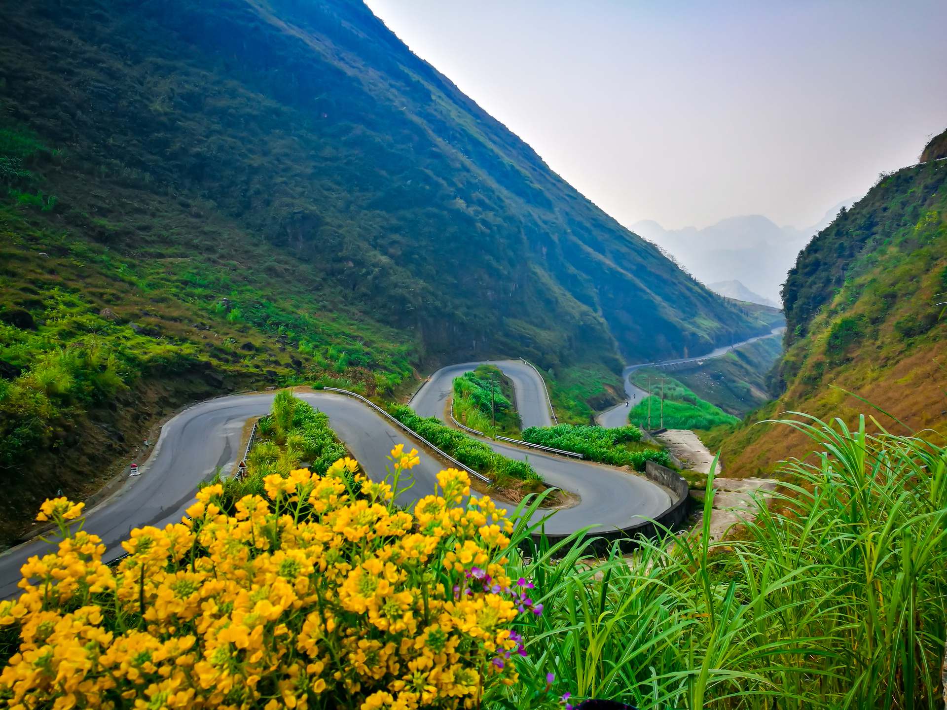
Photo: Shutterstock
Wang Dynasty Mansion
The Vuong Dynasty mansion in Sa Phin commune, built at the beginning of the twentieth century, simulates the architecture of the Qing Dynasty (China), according to the Ha Giang Provincial Portal. The house took 8 years to complete, located on a land area of 1,120 m2. The mansion is shaped like a turtle shell with rows of soaring cypress trees. Two rings of walls are built of box stone, with apricot holes and guard boots. The palace has three stilt houses. The main house faces the gate, the two annexes are parallel and perpendicular to the main house. All three houses from columns, trusses, floors, walls, and roofs are made of precious wood.
Vuong's house is located next to National Highway 4C on the way from Ha Giang city to Dong Van, 13 km from Dong Van town center. In 1993, the Vuong Dynasty Mansion was recognized as a national architectural and artistic relic.
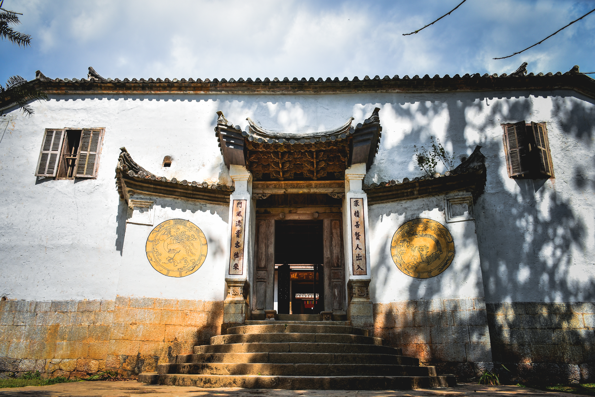
Photo: Shutterstock
Nho Que River
The Nho Que River originates from Yunnan, China, flows in a northwest-southeast direction, through Dong Van and Meo Vac districts in Ha Giang province to merge into the Gam River in Cao Bang. The Nho Que River flows into Vietnam for 46 km, from Lung Cu through Tu San Gorge and then runs along Ma Pi Leng Pass. A unique feature of the river is that most of the year, the water is turquoise. In recent years, local tour companies have offered sightseeing boat rides or kayaking services to visitors. The rental price is from 50,000 VND to 150,000 VND per boat, depending on the type.
Note: To get to the boat dock, visitors will have to overcome zigzag distances. It is recommended to hire a local person who has a solid steering wheel and is familiar with the road.
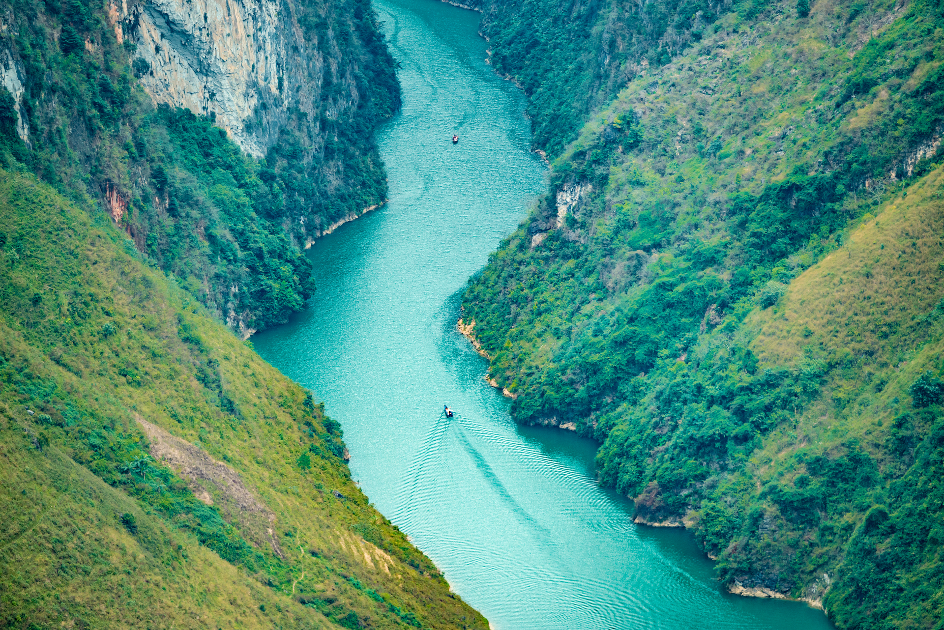
Photo: Shutterstock
Lung Cu National Flagpole
The flagpole is located at the top of Lung Cu, also known as the peak of Dragon Mountain with an altitude of 1,470 m above sea level, in Lung Cu commune. The flagpole is about 3.3 km from the northernmost point of Vietnam along the path of flying birds. The flagpole has a long history, has undergone many times of restoration and embellishment, currently has an octagonal shape, more than 30 m high, inaugurated on September 25, 2010. At the top is a 9 m high flagpole with a Vietnamese flag 54 m2 wide. Looking down from the top of the flagpole, there are two ponds on both sides of the mountain, which do not run out all year round, called the dragon's eye pond. The flagpole is 24 km from Dong Van town.
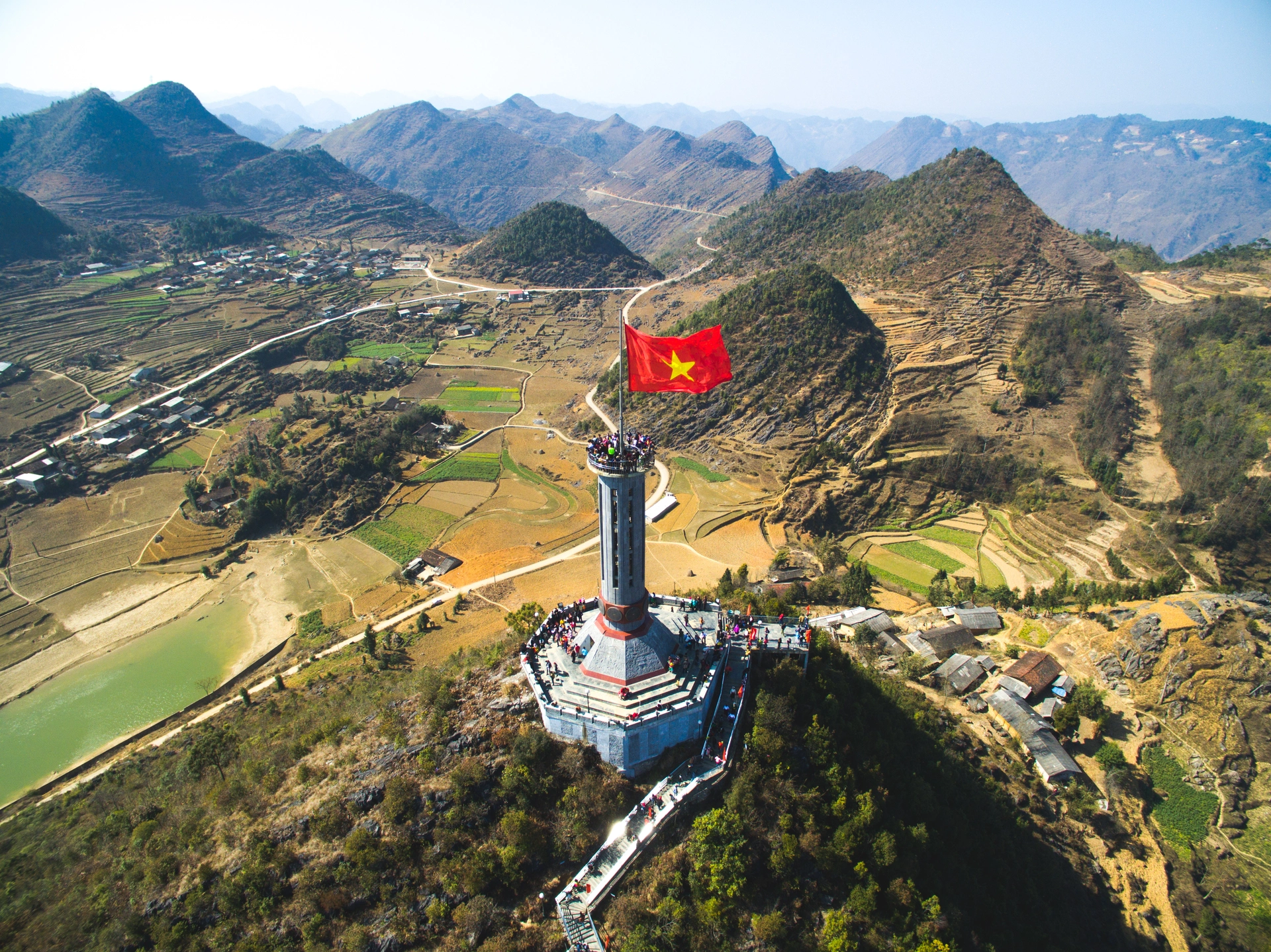
Photo: Shutterstock
Field of Triangle Flowers Grace La
Nearly 20 km from Dong Van town, Sung La commune has a fairytale-like scenery, located under cat-ear rock cliffs. The Mong ethnic people in Sung La often plant buckwheat triangles on high hillsides, so this place is considered one of the most beautiful flower viewing spots in Ha Giang. The ideal time is from October to November.
Pao's House
Also located in Sung La commune, "Pao's House" is actually a people's house, built in 1947, used as a backdrop for the movie "Pao's Story". The house has the architectural features of the Mong people in the rocky plateau, closed in four directions, with a terrace in the center. The front yard of the house is paved with stones, around planting plums, apricots, peaches... typical tree species of the region. The house has beautiful architecture, the surrounding landscape is even more beautiful in the blooming season, so this place always attracts a large number of tourists.
This destination charges 10,000 VND for each tourist.
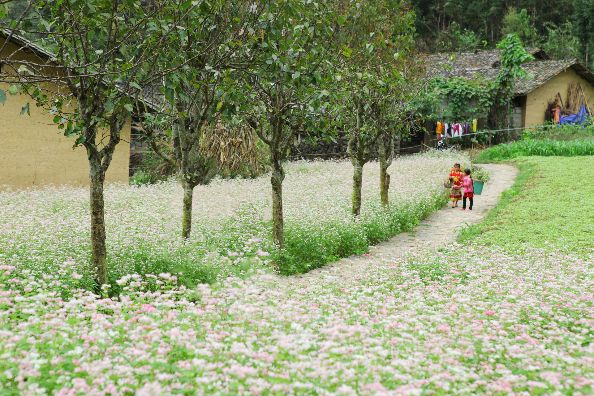
Photo: Shutterstock
Pho Bang Town
Not as noisy as other places, in Pho Bang visitors will have the feeling that time passes slowly. It is home to the Chinese and Hmong communities with more than 500 people. The town stands out because it still retains its simple, idyllic and ancient look. Because the road is farther than other places, Pho Bang is somewhat isolated and less known. To enter the town, you have to go nearly 5 km from the national highway, close to the Vietnam-China border, where there are only cat-ear rocks.
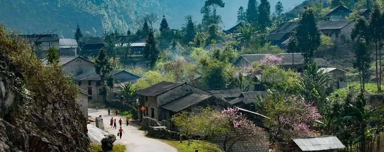
Photo: Shutterstock
Pho Fox Commune Fair Market
Located 25 km from the center of Dong Van town, Pho Fox market meets every 6 days, usually lasting from early morning to noon. Pho Fox Market is not only a place to buy and sell local goods and products but also a place for cultural exchanges between 17 ethnic groups in the area. The markets are very crowded. People wear the most beautiful dresses, bringing to the market from chickens to pigs, dresses, scarves, sharpened knives, and a bunch of freshly picked vegetables in the garden.
According to VnE
