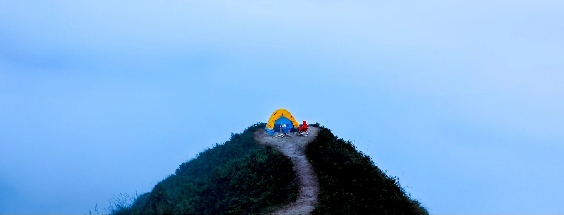
Ta Nhi Chu - the roof of Yen Bai province has a height of 2,979 m, which is the 7th highest peak in Vietnam located in Xa Ho commune, Tram Tau district, Yen Bai province. This mountain peak was first conquered by tourists in 2013 and is known as the "cloud paradise on earth" because it is always covered with a sea of clouds from above.
The journey to conquer Ta Chi Nhu usually lasts 2 days and 1 night, so it is ideal for weekend trips of people with busy jobs. Especially in October, the whole mountain peak is dyed purple during the season of wild purple flowers called "chi pau" (meaning "unknown name").

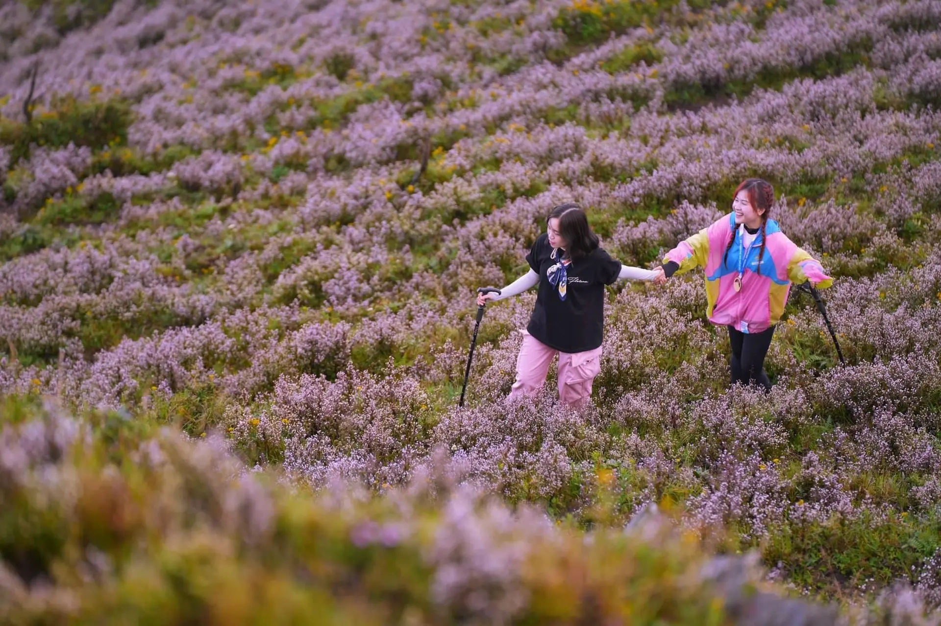
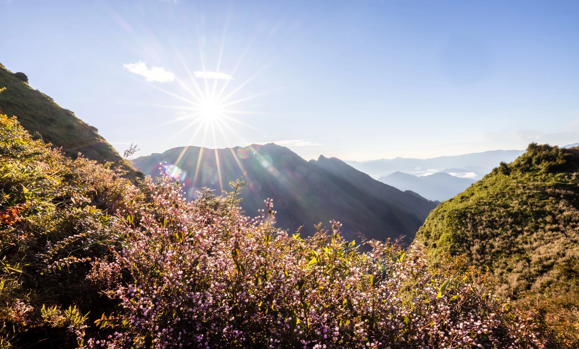
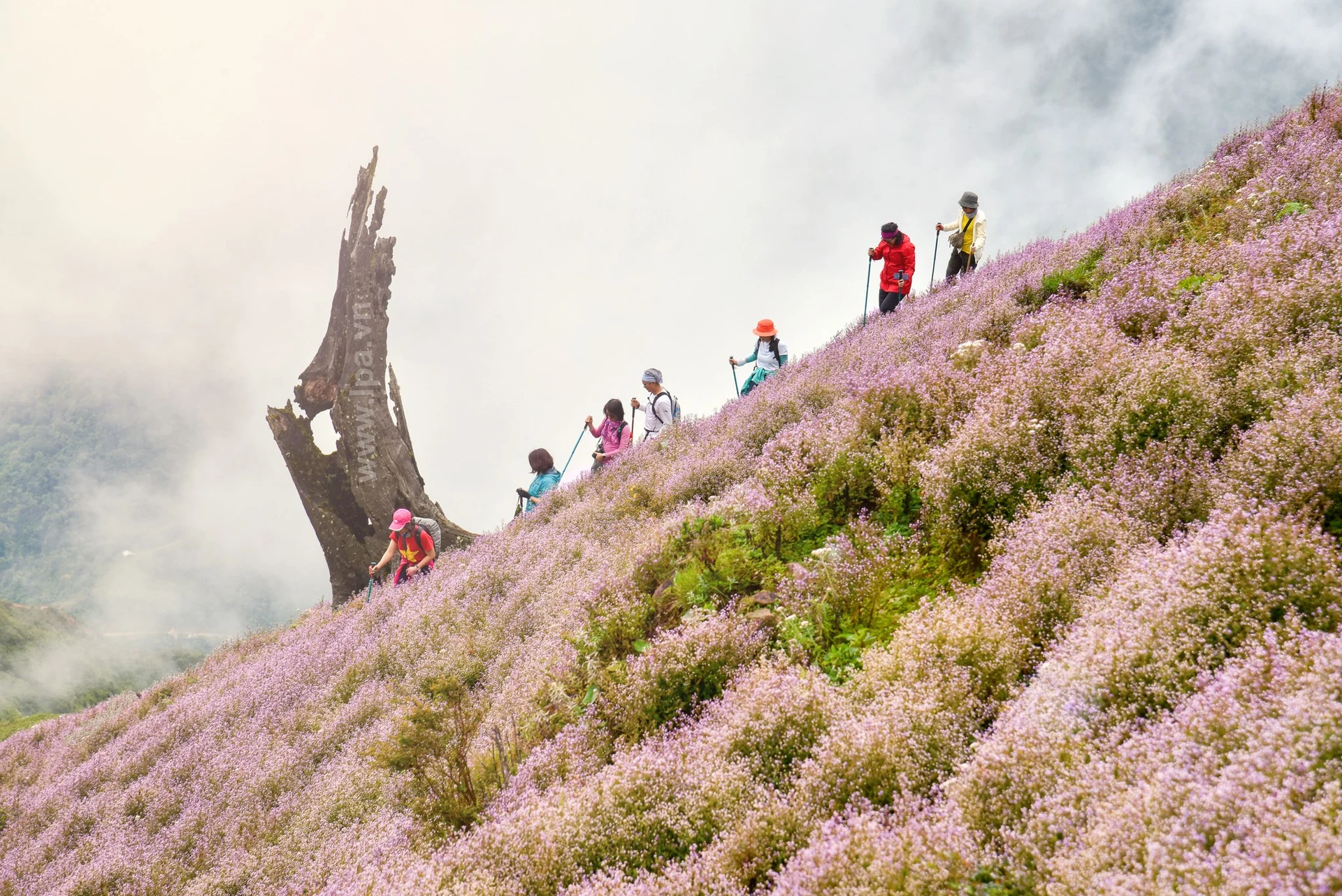
Photo: Dungnhym/Nguyen Viet Hung
Bach Moc Luong Tu (or Ky Quan San) is a mountain peak located at an altitude of 3,046 m, the 2nd highest in Lao Cai, after Fansipan. Once a desolate mountain peak, a breeding and cultivation place for the Mong people, in the past few years, Bach Moc Luong Tu has become an attractive destination for people who love climbing mountains and watching the sea of clouds.
The Bach Moc Luong Tu Mountains have quite rugged terrain, which is an attractive Northwest backpacking destination explored by backpackers since 2012. The highest peak of this mountain range is about 3046m above sea level. The distance from the foot of the mountain to the top is about 30km long, through many different terrains such as barren hills, bamboo forests, large timber forests, dwarf bamboo forests to craggy cliffs covered with moss.
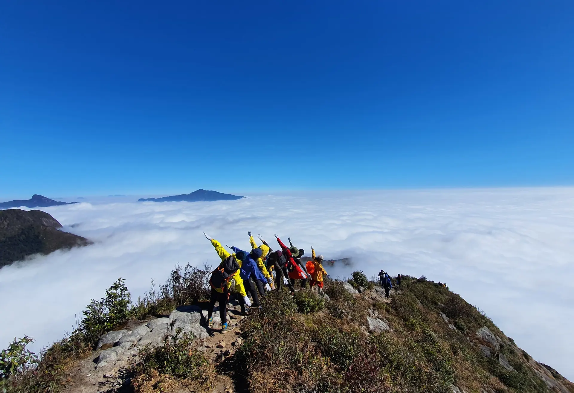
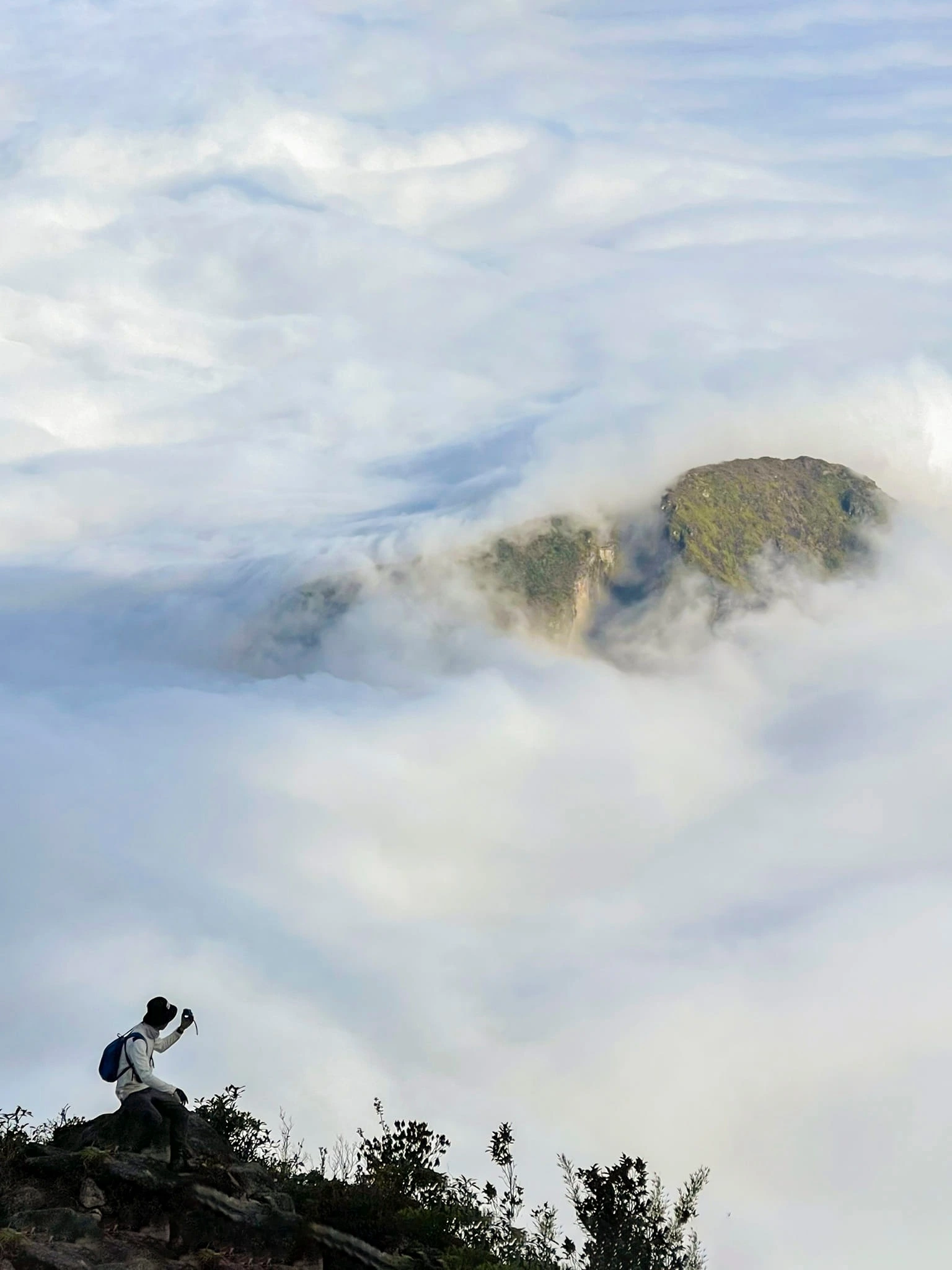
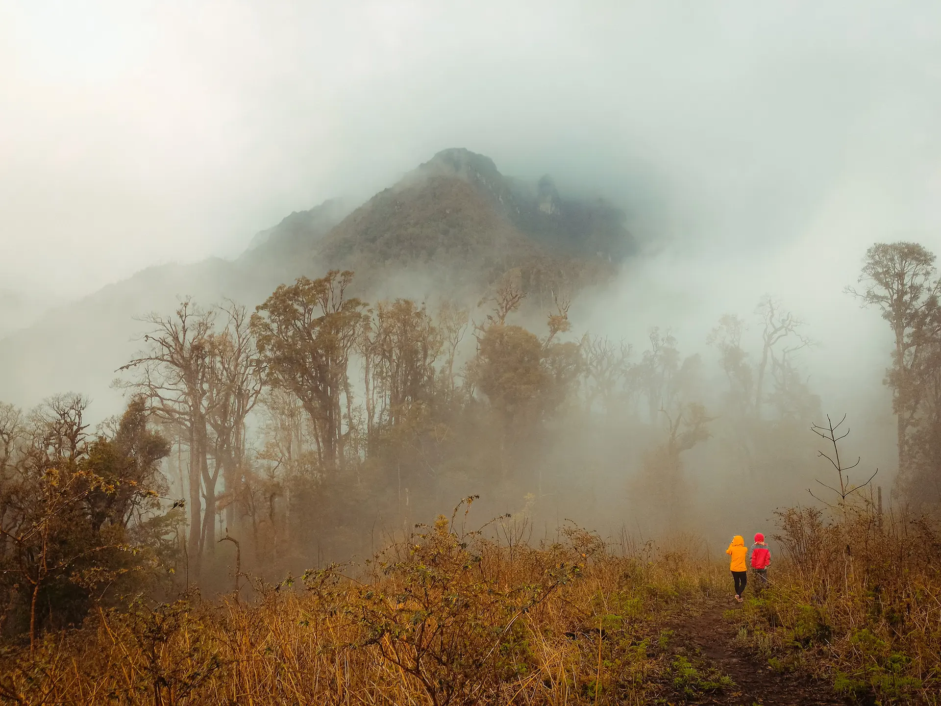
Photo: Golf Beard/Nguyen Trong Cung / Duy Anh
Top Ta Xua 2,865 m high is the place bordering the two districts of Tram Tau (Yen Bai) and Bac Yen (Son La), is one of the highest peaks of Vietnam. The four sides are surrounded by high mountains, so this place often appears dense clouds covering and rolling like waves creating a sea of white clouds. The right time to hunt clouds is October to April next year.
Ta Xua was previously known as the place to produce ancient shan tuyet tea and delicious tra fruits. However, since emerging as "Ta Xua cloud paradise", this place has become a highlight of Son La tourism attracting a large number of tourists. The exact place that young people often choose to hunt clouds in Ta Xua is the top of a small mountain range, which is said to be the lowest peak in the 10 highest peaks in Vietnam.

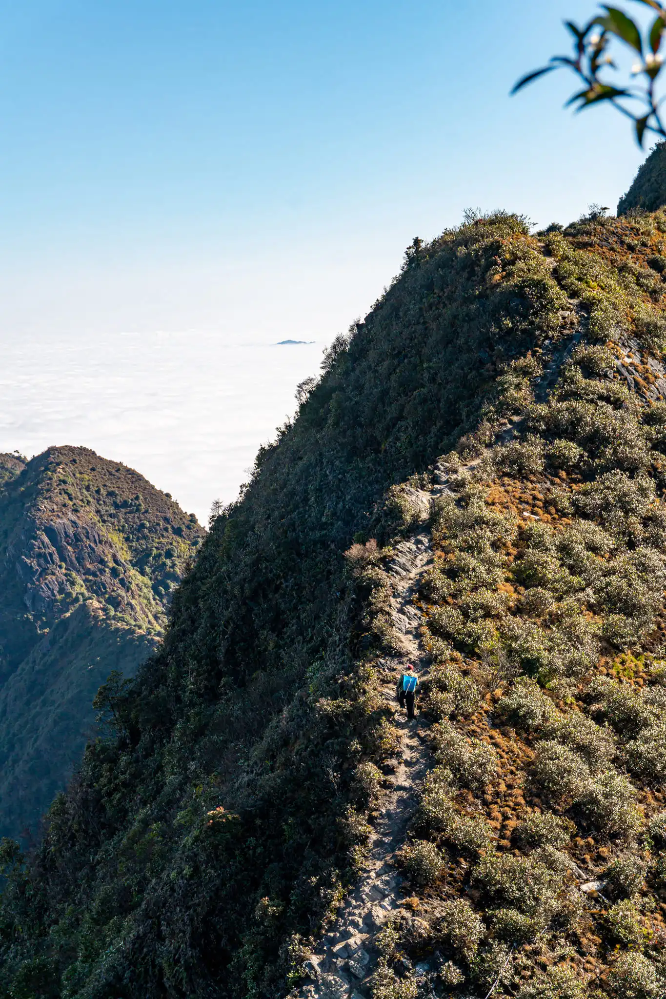
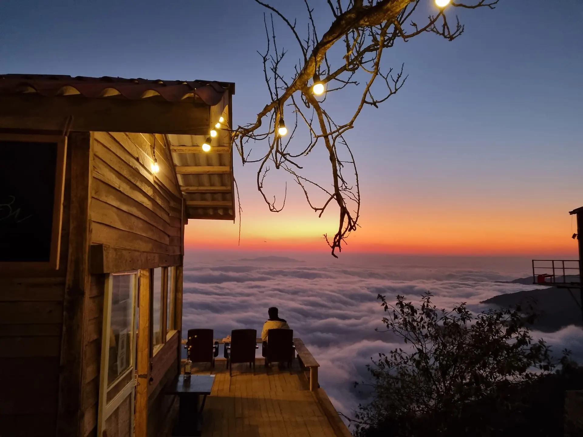
Photo: PYS Travel/Me Quan
Nhi Co San in the H'Mong ethnic language, it means "buffalo horn". The mountain is located in Sang Ma Sao commune, Bat Xat district, Lao Cai province, about 60 km from Sa Pa . Currently, tourists who want to trek this mountain peak often take a bus to Sa Pa, continue to Den Sang commune (on the way through the People's Committee of Bat Xat district to declare their movement), continue to take motorbike taxis of locals to Nhi Co San village . The last road from Den Sang to Nhi Co San is less than 10 km but full of rocks and steep slopes, only a hard steering wheel with a motorbike can go.
The trekking path from the village to the mountain will start on the road on both sides of the rice terraces in the dry season, only inert stubble and rudimentary stone fences.
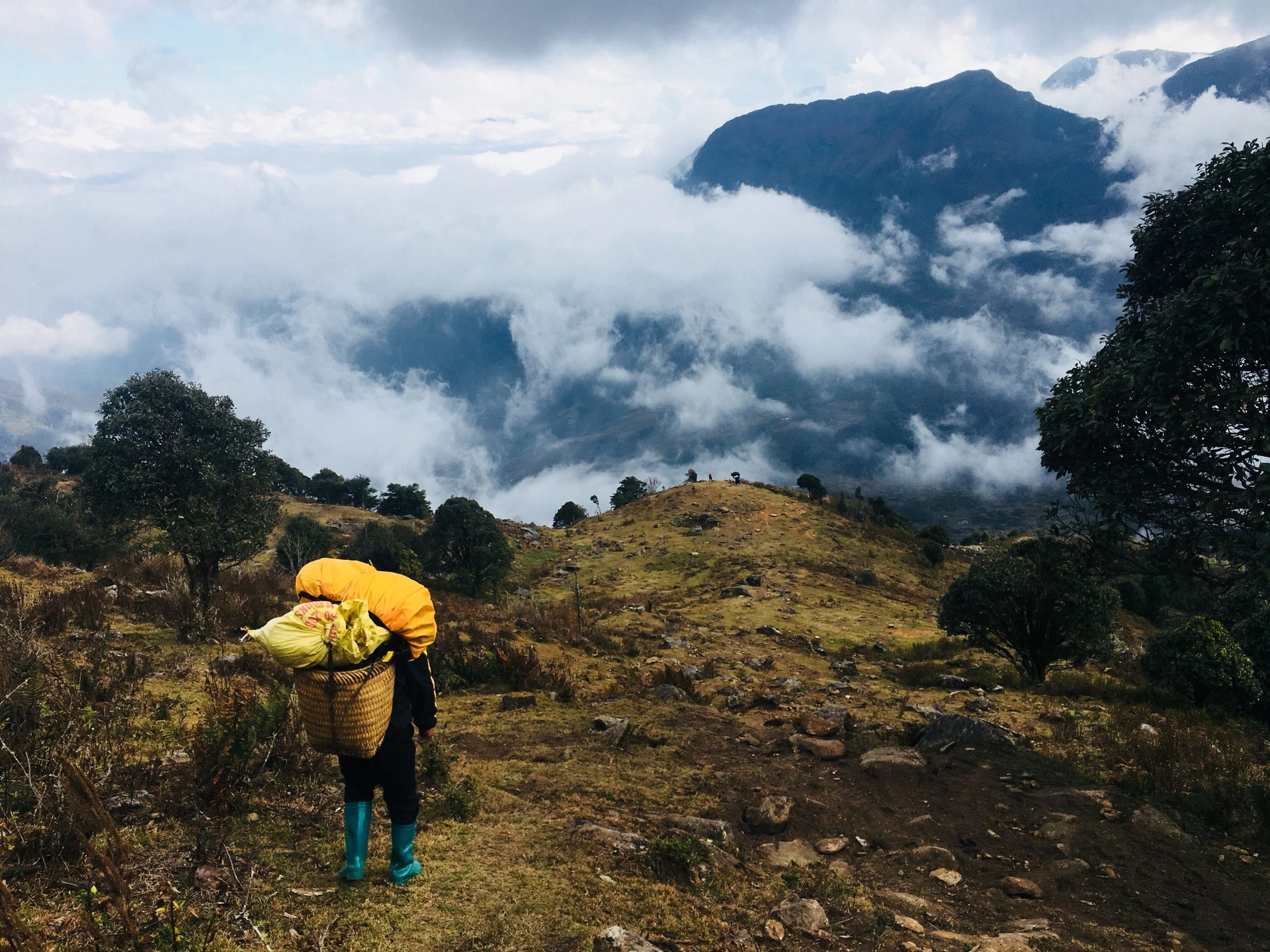
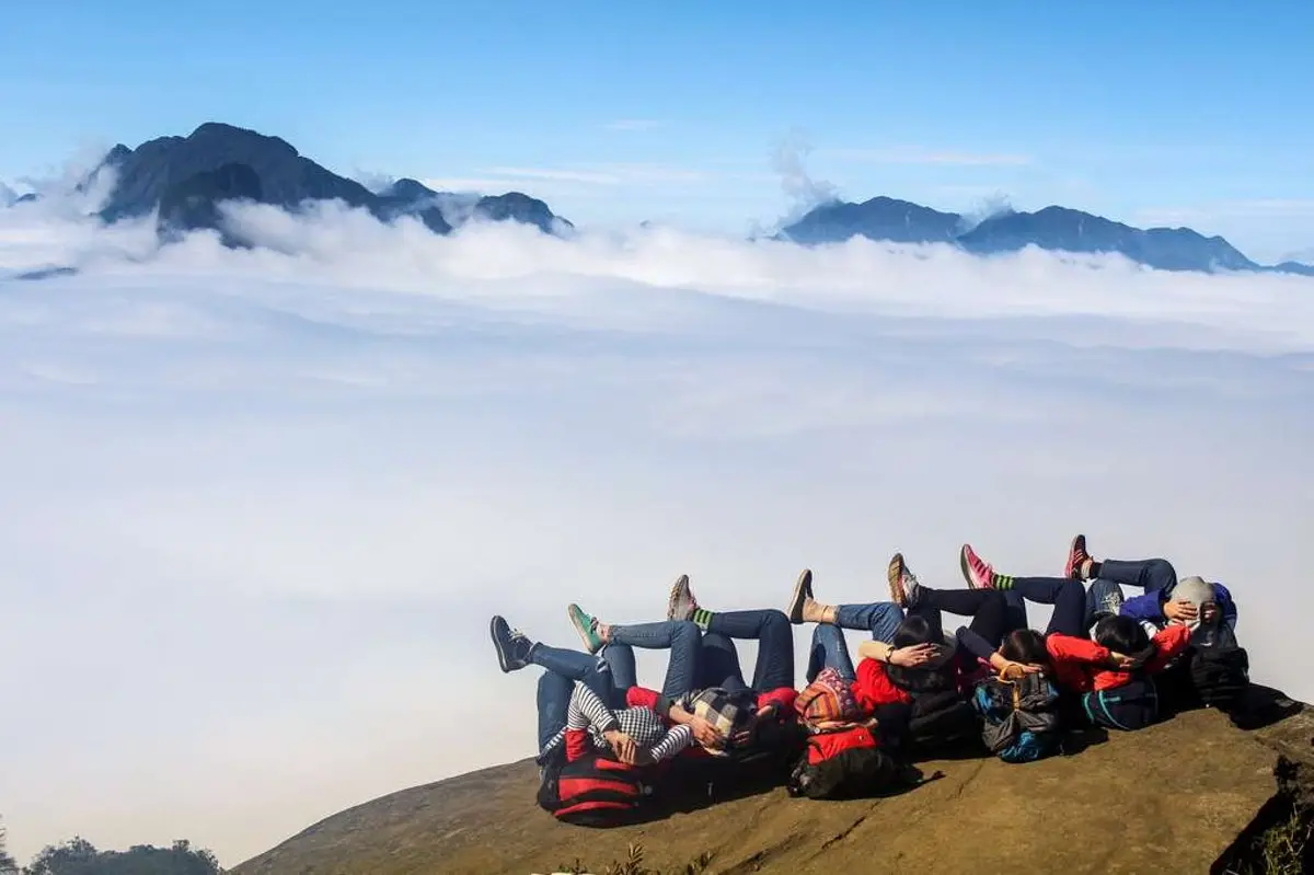
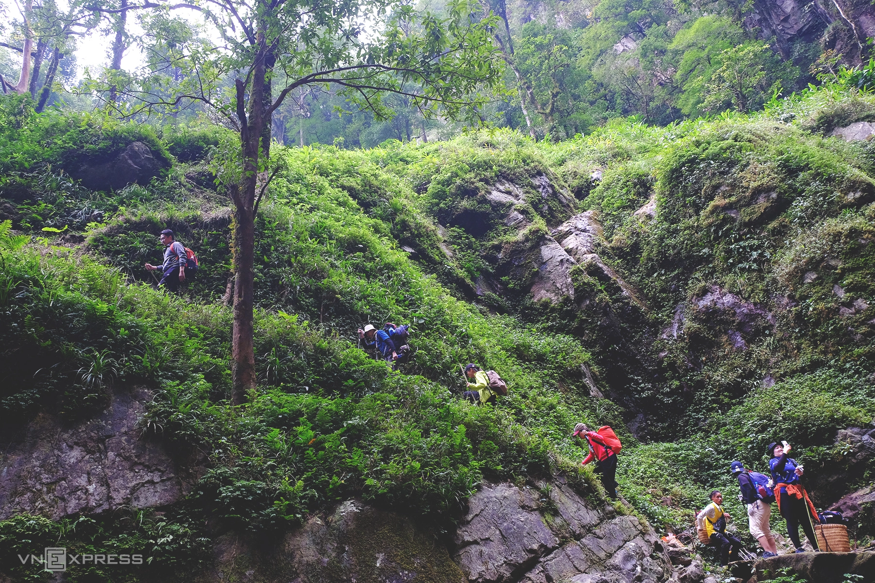
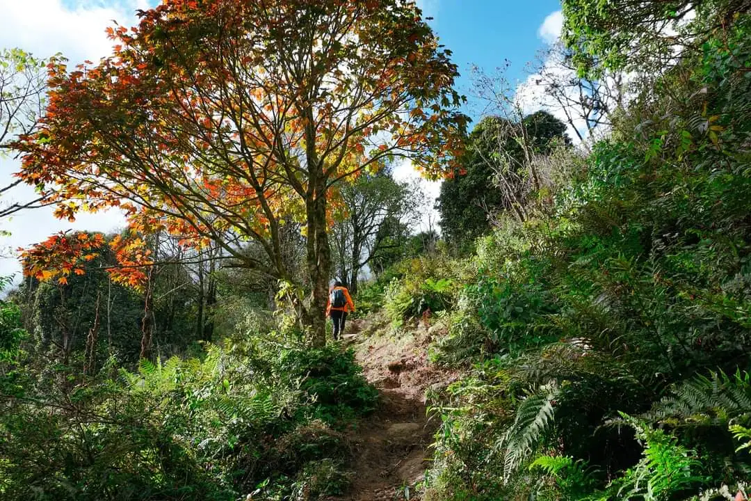
Photo: Wetrek
Lang Tan Peak known as the roof of Y Ty, Lao Cai province. The mountain has a height of up to 2,860m, which is the 11th highest peak in Vietnam. Although not as majestic as Fansipan Peak, nor as dangerous as Ba Den Mountain, Lao Tan Mountain is an ideal place for cloud hunting and trekking.
Lao Tan Mountain is considered to have a not too complicated terrain, the foothills at the foot of the mountain are mainly low grassy hills, and to the top, thorny trees and bushes will appear. Along the way to the top of the mountain, the scenery is also very beautiful, there are also stops for you to rest or camp. For young people who like to hunt clouds, the road on the top of Lao Tan has an altitude of more than 2,860 m in Y Ty commune, Bat Xat district, which is considered a reasonable choice in this winter-spring weather. Lao Tan is also known as Nhi Co San father (distinguished from Nhi Co San mother in the opposite direction), or the Mong people call the mountain Hau Phong San.
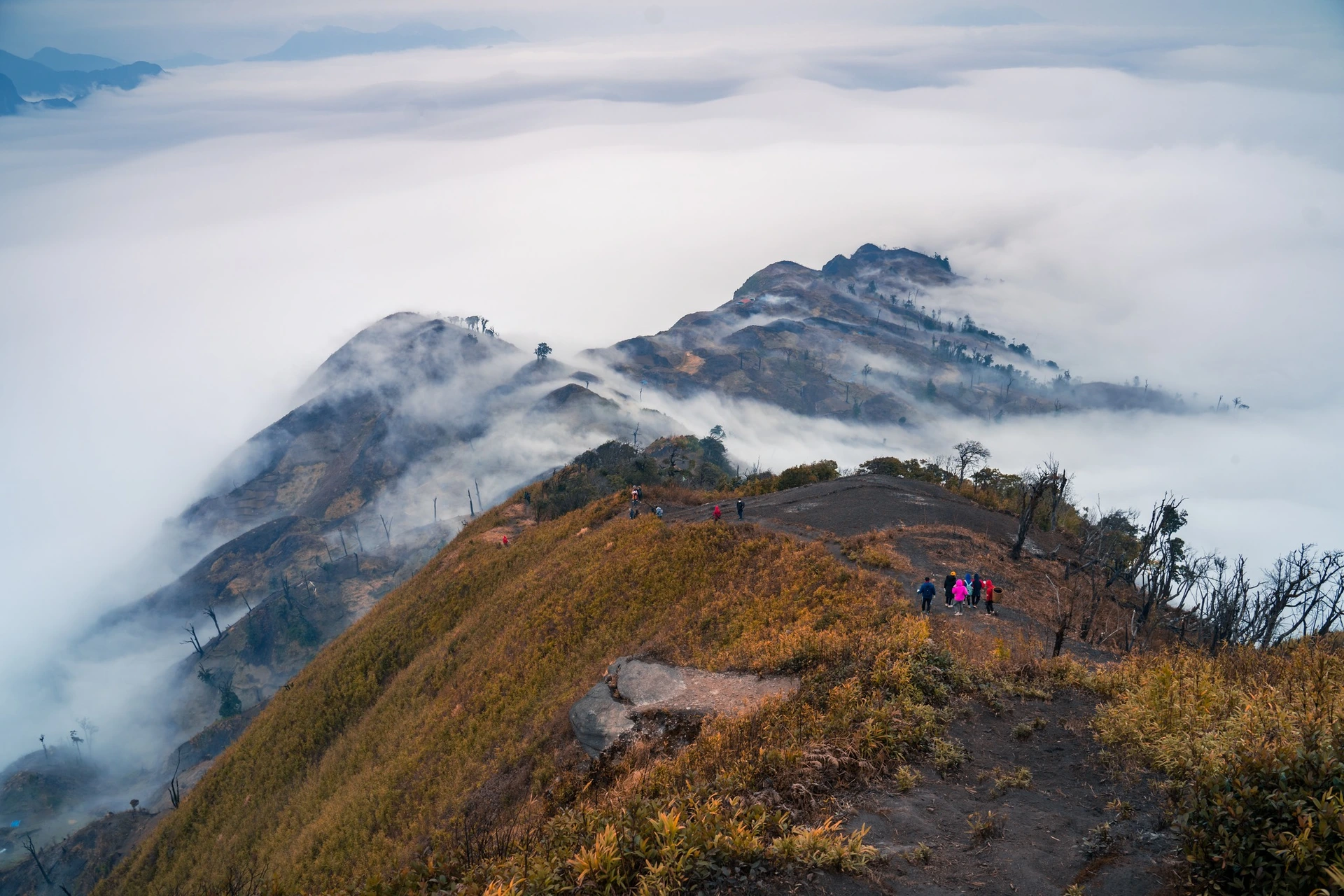
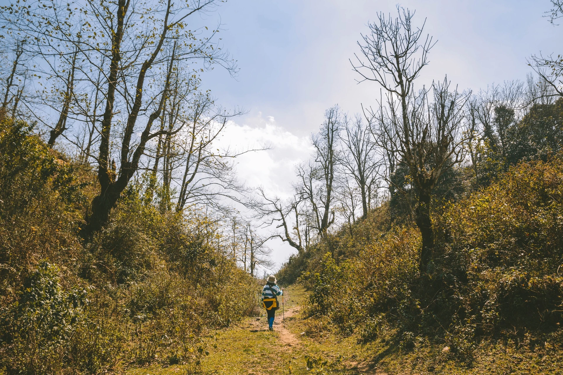
Photo: Yen Lee/Viettrekking
Lung Cong Peak 2,913 m high, in Mu Cang Chai district, in the top 15 highest peaks in Vietnam, In the past few years, Lung Cong has attracted a large number of mountaineering and trekking (trekkers) lovers due to the beautiful mountainous terrain, short climbing paths with moderate difficulty. It is also an ideal place for cloud hunting, and it is especially possible to watch both sunset and sunrise in the sea of clouds due to its unobstructed 360-degree view.
To get to the top of Lung Cong, it takes 45 minutes to ride a motorbike from Lung Cung village along a winding and rugged road and 11km to walk uphill to the top. But in return for the hard distance, it is a beautiful scenery with primeval vegetation, along with many precious herbs that are cared for and protected by the people here.

Photo: lee0ni0n
Wuzhishan is a mountain peak in the Hoang Lien Son range, Ta Giang Phanh commune, Bat Xat district. This place is on the border of Lao Cai and Lai Chau provinces. Ngu Chi Son Peak has an altitude of about 2850m above sea level and about 25km from the center of Tam Duong town. The reason why Wu Chi Son is 5 main mountains standing upright pointing to the sky looks like five fingers, so it is called Wu Chi Shan.
Every early morning, Ngu Chi Son is hidden in the morning mist and clouds cover the top of the mountain, creating very beautiful scenery. In the evening, the top of the mountain changes from matte blue to blue and finally dark purple. This makes visitors when enjoying the beautiful scenery here reminiscent of the spiritual and magical things here.
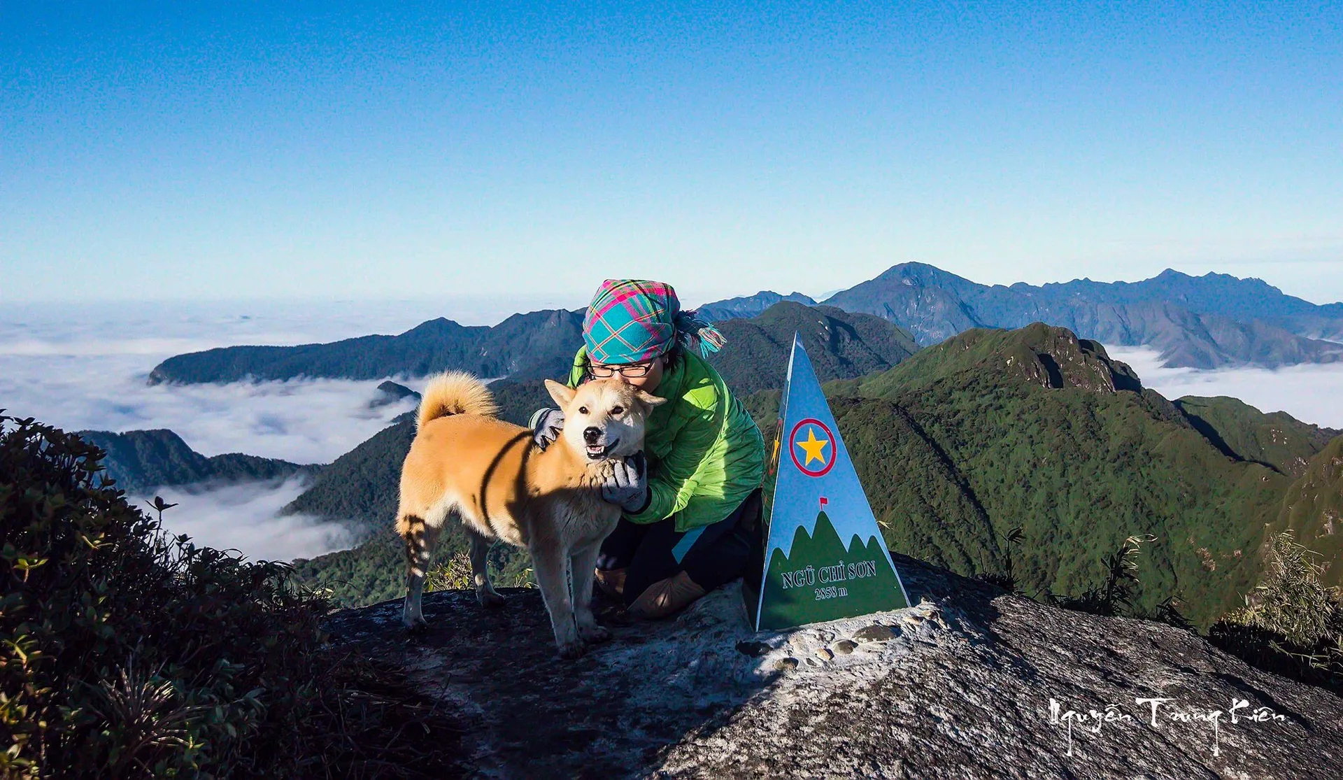
Photo: Nguyen Trung Kien
Synthetic Migo