With the advantages of rich climate, terrain and flora, Vietnam has great potential in developing picnic tourism for climbing, trekking, and jogging on the terrain. Therefore, mountains with heights in the "top" become a target for those who are adventurous and passionate about exploration.
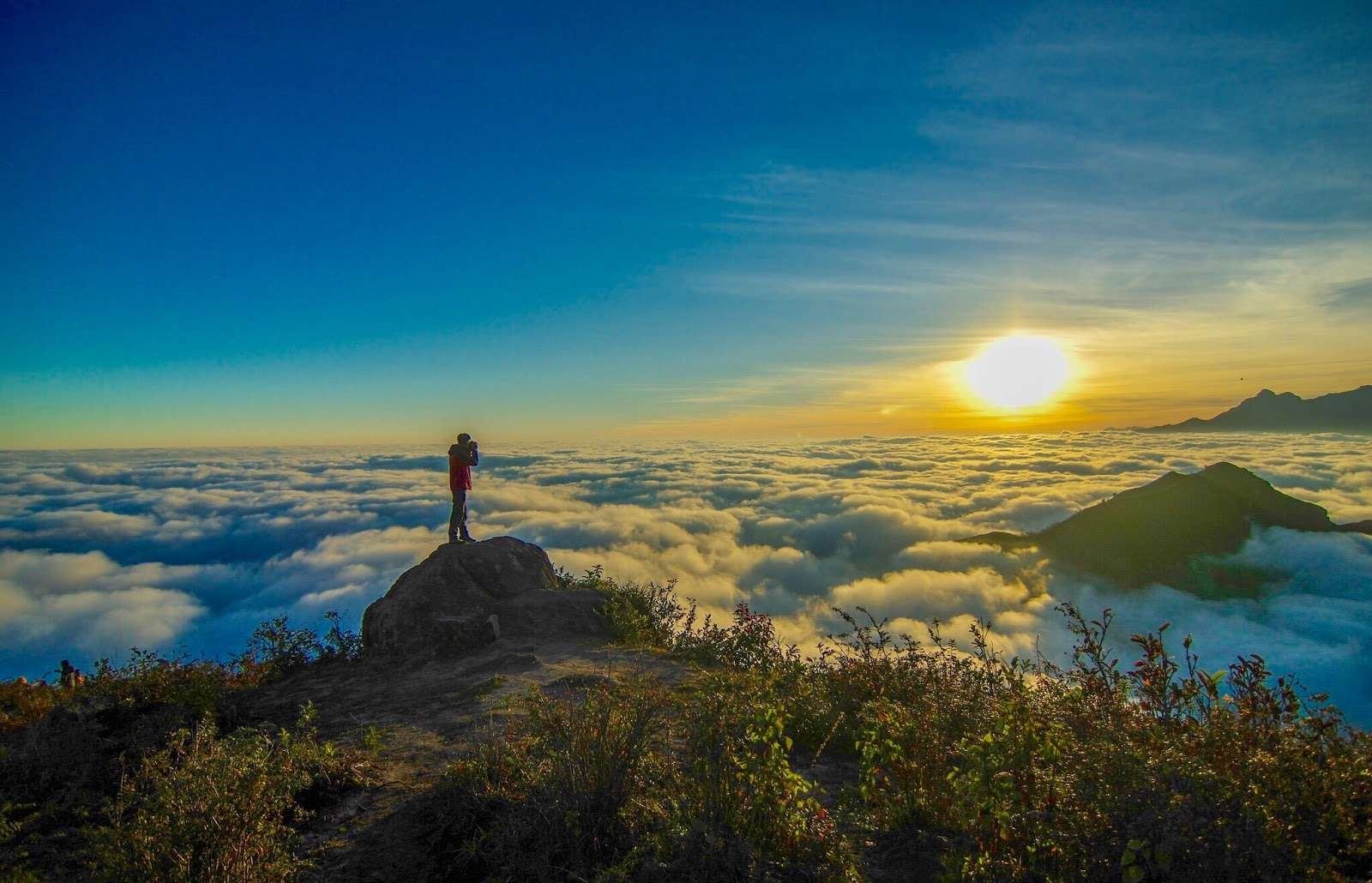
Photo: hoileonui.com
Fansipan Peak
Fansipan is the highest mountain peak in Vietnam, with the nickname "roof of Indochina". In the local language, the name of the mountain means "giant rocky slab". Conquering Fansipan peak is always an extremely meaningful milestone in the journey of exploring Vietnam's nature.
You can trek along many routes, but the most popular is still the route from Ton Station with a schedule of 2 days and 1 night, or if you go from Cat Cat Village, the schedule will be 3 days and 2 nights. These trekking routes are quite easy to walk, suitable for all participants, including children between the ages of 9 and 10.
Location: It belongs to the Hoang Lien Son range, about 9km from Sapa town in the southwest direction, Lao Cai province
Height: 3.143m
Climbing time: 2 Days 1 Night/ 3 Days 2 Nights
Ideal time to climb: From October to April (from December to early February there may be snow)
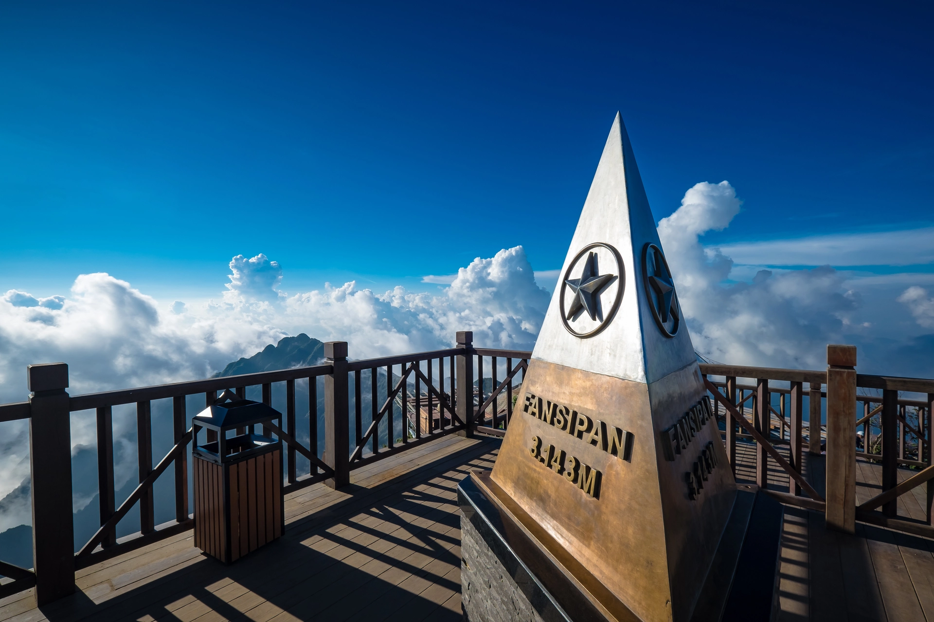
Photo: Shutterstock
Pusilung Peak (Fu Si Lung)
Pusilung possesses a relatively complex mixed terrain but is mainly a cross-forest road with slippery slopes and large streams, surrounded by ancient old forests. To conquer Pusilung, you have to climb through the hillsides and it takes up to 2 to 3 hours to overcome the continuous slopes. This is really a challenge that is not easy, even for newcomers, it is normal for 10 people to go, 8 people give up along the way.
Moreover, Pusilung is also one of the mountains with the longest trekking route with a total distance of up to 60km. Because it is located on the Vietnam-China border, if you want to trek at this mountain, you need permission from the Pa Ve Su border guard station.
Location: Located near milestone 42, the Viet-Trung border belongs to Pa Ve Te commune, Muong Te district, Lai Chau province
Height: 3.083m
Climbing time: 3 Days 2 Nights
Ideal time to climb: From October to March
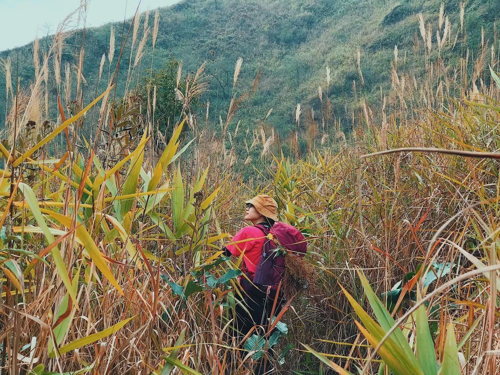
Photo: wecheckin
Putaleng Peak
It has an altitude almost equivalent to the Pusilung Mountains. Putaleng is on the list of the highest mountain ranges in Vietnam that many backpackers aspire to conquer and explore during their journey. To conquer Putaleng peak, you can follow the schedule from Ho Thau to move to the 2380m altitude landmark, then move from the 2400 milestone to the Putaleng peak and move down the mountain in the direction of Ta Leng village.
Putaleng possesses a relatively complex mixed terrain but is mainly a cross-forest road with slippery slopes and large streams, surrounded by ancient old forests. The journey through the forest, crossing streams and climbing slopes to conquer the peak of Putaleng will certainly bring an interesting feeling but also an equally adventurous feeling.
Location: Ta Leng commune, Phong Tho district, Lai Chau province
Height: 3.049m
Climbing time: 3 Days 2 Nights
Ideal time to climb: December to March
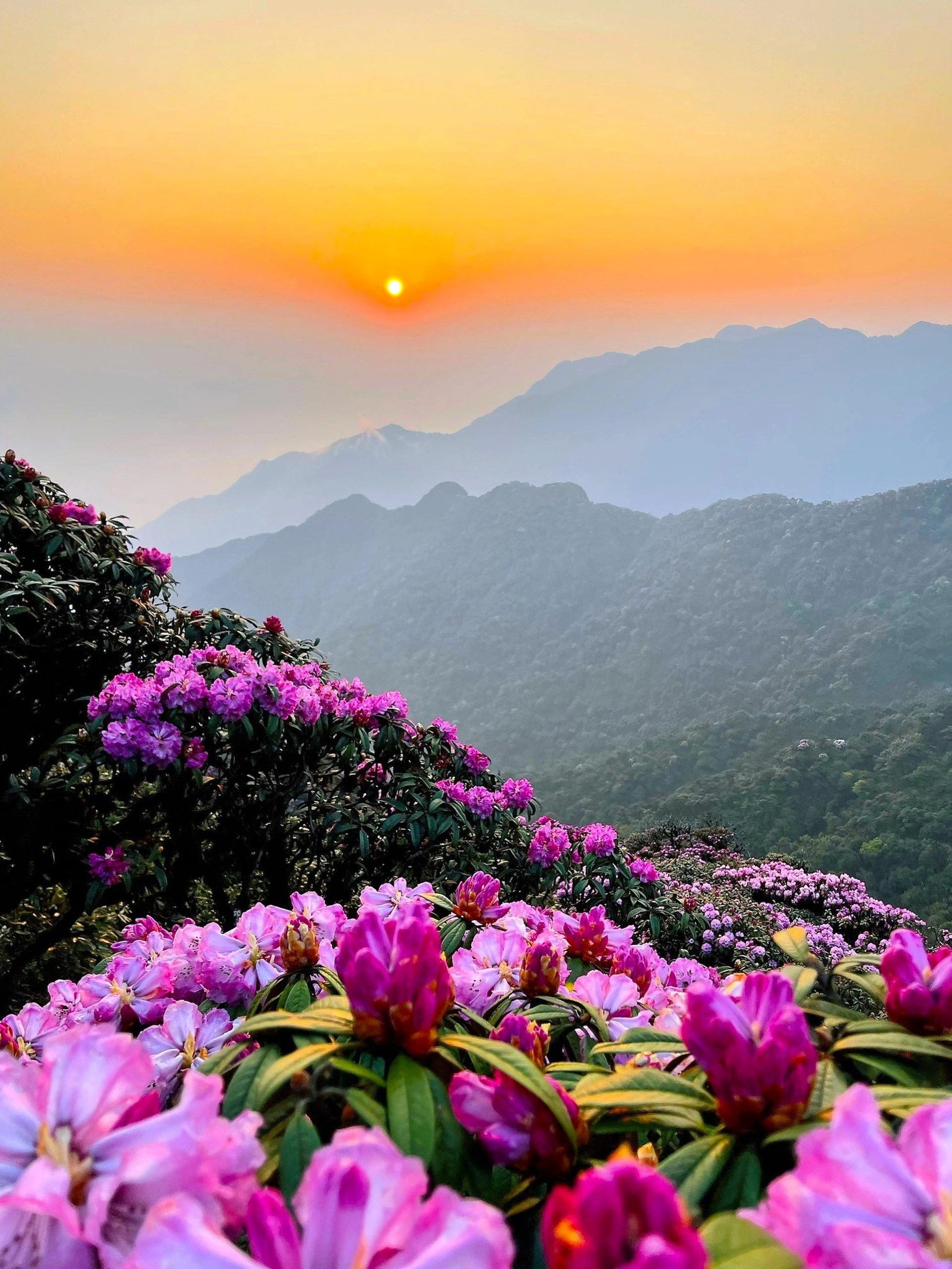
Photo: Bui Van Nguyen/Dan Tri
Peak of the Wonder of the Mountain (Bach Moc Luong Tu)
Ky Quan San, also known as Bach Moc Luong Tu, is a mountain range located between the boundary between Bat Xat district of Lao Cai province and Phong Tho district of Lai Chau province. To conquer Ky Quan San, you can choose to start from Lai Chau or Lao Cai. However, the most popular choice is still from Sang Ma Xao commune, Bat Xat district, Lao Cai.
On the way from Muoi Mountain to the top, you will encounter many diverse ecological changes from the rocky bare hilltops to the burnt wood forest, near the top you will encounter the white wood forest, which is why Ky Quan San was formerly known as Bai Moc Luong Tu.
Location: It belongs to the Ky Quan San range between 2 provinces of Lao Cai and Lai Chau
Height: 3.046m
Climbing time: 4 Days 3 Nights/ 3 Days 2 Nights
Ideal Timing: Spring and summer delivery time

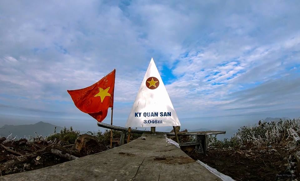
Photo: _hainam_68_nb__, tran_khac_tung
Khang Su Van Peak (Fan Lien San/ U Thai San)
In addition to the thousand-year-old tea forest, Khang Su Van owns diverse vegetation such as cardamom forests, white and yellow rhododendrons or primeval forests that have almost never been touched by humans. The peak of Khang Su Van Mountain is a natural city wall that protects the northern border. Therefore, to conquer this peak, you need to have a license from the Vang Ma Chai border guard station.
Location: Pa Vay Su commune, Phong Tho district, Lai Chau province
Height: 3.012m
Climbing time: 3 Days 2 Nights
Ideal time to climb: The whole year has beautiful flower seasons and unique weather patterns
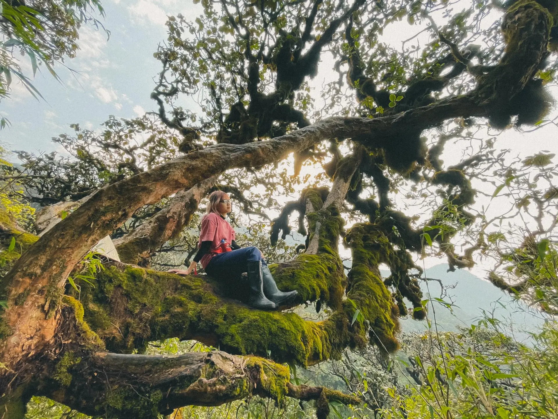
Photo: Hang Bap
Synthetic Migo