Yen Tu , Quang Ninh
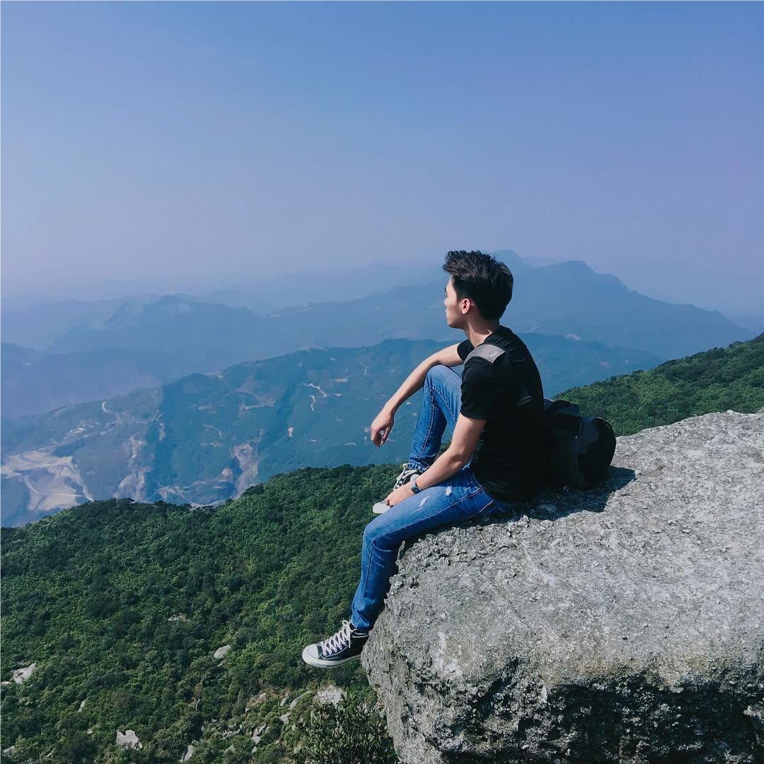
Located on Yen Tu Mountain with an altitude of 1,068m above sea level – one of the largest Buddhist centers in Vietnam. because the top of the mountain is often covered with clouds, so in the past, this place still existed called Bach Van Son.
The mountain road is about 6km long, with not too rugged terrain, so trekking is one of the forms chosen by many young people. However, the trekking route to Dong Pagoda - a famous destination in Yen Tu - is quite steep and dangerous, so it is only suitable for those who are in good health.
Address: Yen Tu Pagoda, also known as the Yen Tu Scenic Complex in Thuong Yen Cong Ward, Uong Bi City, Quang Ninh Province
Best Time: From 1 to March of the lunar calendar, the weather is relatively cool, many festivals take place, attracting a large number of tourists.

Photo: antuongxuyenviet.com/Shutterstock
A Pa Chai, Dien Bien
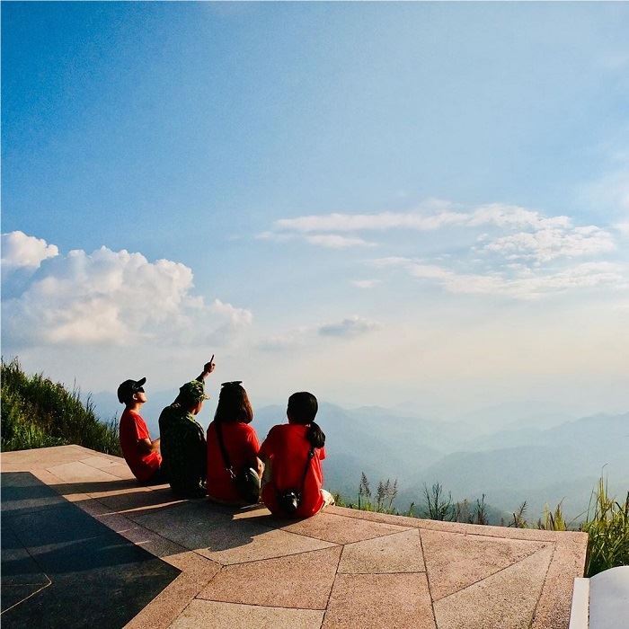
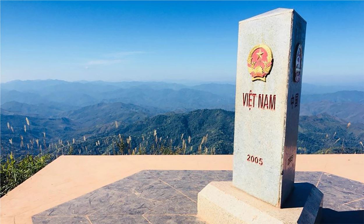
A Pa Chai belongs to Sin Thuu commune, Muong Nhe district, Dien Bien province, at an altitude of 1864m above sea level, the main habitat of the Ha Nhi ethnic group and some other ethnic minorities. As the westernmost point of Vietnam, bordering Laos and China, this place is likened to "a rooster, three countries listen".
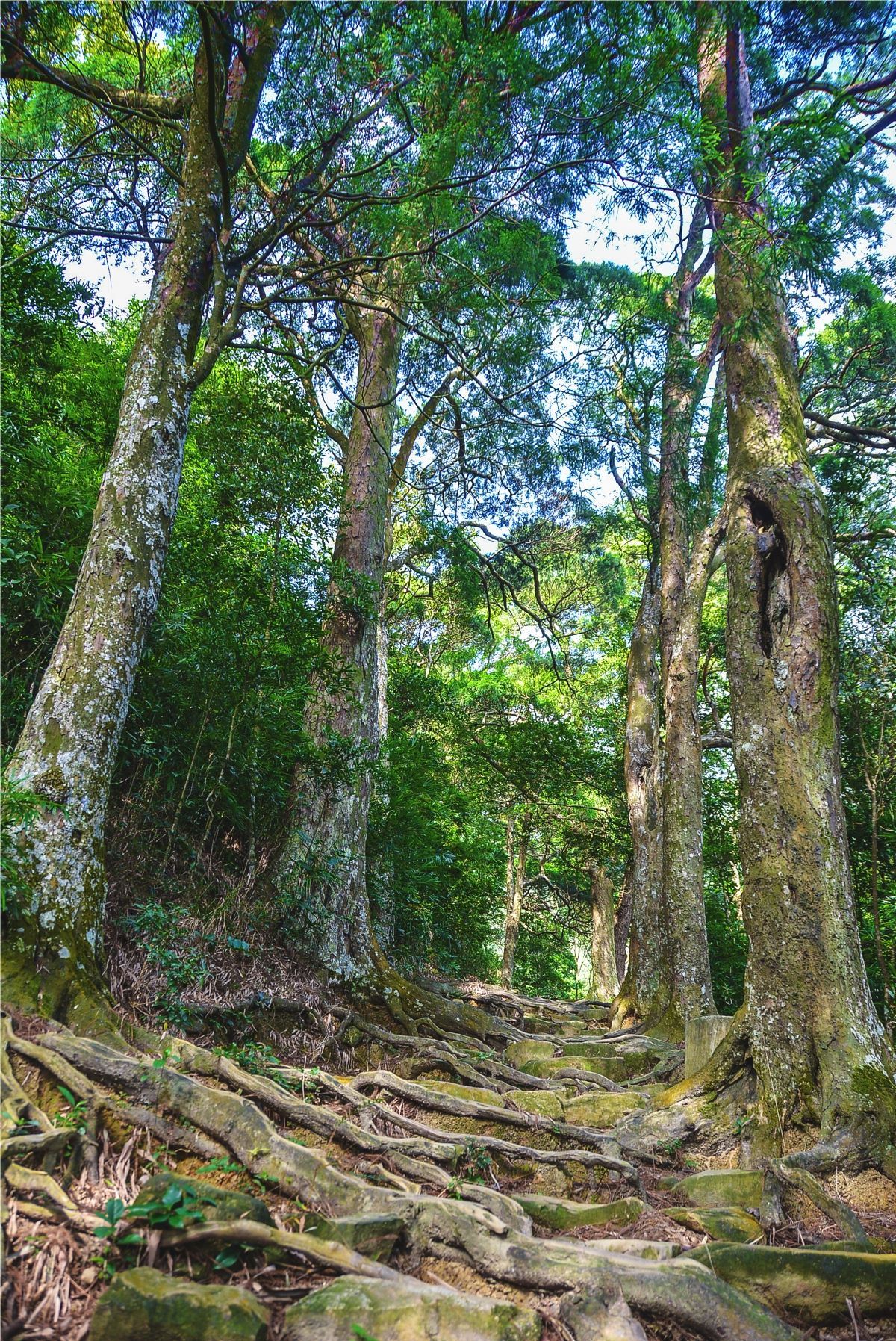
With a steep slope, A Pa Chai requires climbers to walk continuously, unable to stop in the middle of the road. However, conquering A Pa Chai can be divided into 2 stages: the first half is relatively difficult to climb, high and steep continuously, so it is very exhausting. Especially the first 2 rocky stages, there are very few ridges, when climbing, there are many small rocks falling out. The second half of the leg is gentler, the slopes are shorter and lower, instead of a trail that leads climbers closer to nature, the sound of birds chirping, the sun penetrating the trees to dispel the fatigue of the first leg.
Location: Muong Nhe, Dien Bien
To get to the westernmost point, you must ask for permission from the border guard station
Best Time: The dry season is from around November to April. The average temperature is about 21-23 degrees Celsius, the road is not slippery or slippery.
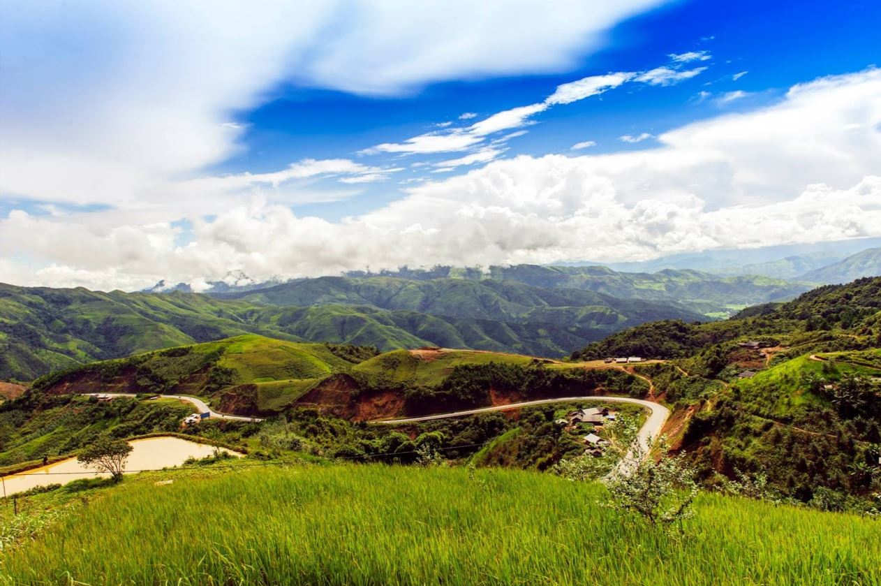
Photo: greenestcity.org
Pu Luong, Thanh Hoa
Pu Luong is about 130km northwest of the city center and owns an altitude of 1700 meters, an area of more than 17,600 hectares along with rich and diverse flora and fauna. Pu Luong is a destination that attracts domestic and foreign tourists with its wild natural beauty of terraced fields and mysterious primeval forests.
Address: Pu Luong Nature Reserve is located in Ba Thuoc and Quan Hoa districts, located in the northwest of Thanh Hoa province,
Some Pu Luong trekking routes that you can refer to:
● Walk around Don village to Ngoc and Leo villages
● Go to the Oo village -> Diving village
● The journey to Son – Ba – Muoi
Best Time: At the end of May – early June, although it is summer, the weather here is cool and pleasant. This is also the time when Pu Luong is starting a new rice crop, intertwined with a few places of ripe yellow rice to create an eye-catching scene.


Photo: tourrada.com
Sapa, Lao Cai
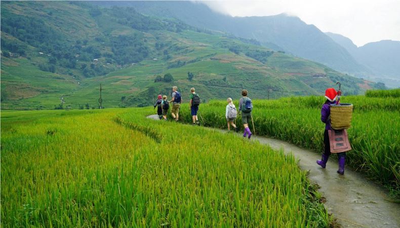
The road is located close to the border of neighboring China, famous for its majestic mountains and ripe rice fields. This place has trails that make it easier to travel to places such as: Cat Cat, Y Linh Ho village, Ta Phin village, Muong Hoa valley, Ham Rong mountain, Gate of Heaven,... In particular, Sapa is home to Fansipan Peak - the highest mountain in Vietnam: 3143m.
Some trekking routes are recommended if you want to experience the level of ease:
■ Lao Chai village (5 km from Sapa town)
■ Sin Chai village (5 km from Sapa town)
■ Ta Van village (10 km from Sapa town)
■ Hau Thao village (11 km from Sapa town)
■ Ta Phin village (12 km from Sapa town)
■ Ban Ho (21 km from Sapa town)
Best Time: From March to May when it's dry and clean, and from September to November if you want to see the rice terraces with your own eyes.


Photo: vietnam-guide.com, remotelands.com
Synthetic Migo
